
If you need shape files for GIS applications or processes in formats like shape files, GeoPackage or File Geodatabases, look no further.
OpenStreetMap uses an inconsistent tagging system. Geofabrik translates this into multiple thematic layers. Their individual features are classified by a hierarchical structured, versioned schema. OpenStreetMap geometries are converted into the established Simple Feature Model.
By default, we export the layers and feature classes which are useful for average applications of cartography and geospatial analyses&nbps;– we call this OpenStreetMap Data in Layered GIS Format. This specification is updated regularly and adapted to changes within the OpenStreetMap project.
Here are two example shapefiles for you to download (the files contain all layers, not only those depicted):
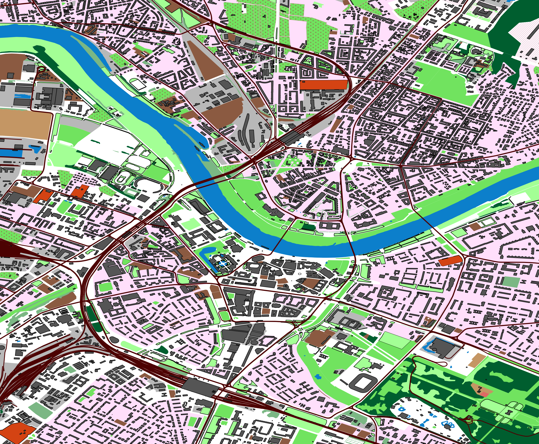
Dresden: landuse, buildings, railways.
Download: 34 MB; all layers.
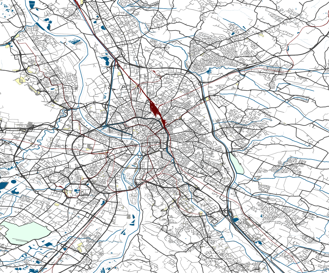
Toulouse: streets, railways, waterways.
Download: 63 MB; all layers.
OpenStreetMap vector data for GIS applications are available in the following formats:
We are happy to offer exports in other formats as well.
Geofabrik vector data exports are not mass-produced by some self-service machine. We create them from current data according to your request, we do an error check, and of course we're there for you if you have questions or problems after delivery. You decide what you need:
Geofabrik will charge a previously agreed fixed price for these services based on the amount of work involved. Please request a quotation if you are interested! As a guidance, a one-off delivery of a vector data export will approximately cost:
| Area | Data Volume (approx.) | Price Shapefile/GeoPackage |
|---|---|---|
| city, county, small state | 1 GB | EUR 250 |
| country or group of countries | 5 GB | EUR 350 – EUR 500 |
| whole continent | 30 GB | EUR 500 – EUR 1,000 |
| whole world | 75 GB | EUR 1,800 |
These rates are handling charges and not license fees – OpenStreetMap data is licensed under ODbL 1.0 which means that you can use it unrestricted, without having to pay a license fee.
A number of shape files containing the most important feature classes are available for free on our download server. While our free shape files are generated daily by an automatic process, paid exports are generated on your request adapted to your requirements. They use daily updated OpenStreetMap data. The key advantages of paid vector data exports compared to our free shape files are:
In addition to the standard exports we have various special purpose exports, e.g. for routing or administrative boundaries. Here's an overview.