
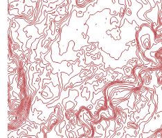
OpenStreetMap itself does not collect height information (with the exception of point data like mountaintops or towers). In order to display height contours or hillshading in a map, you need to use a digital elevation model from a different source.
Geofabrik uses NASA's SRTM data as a base elevation model, and adds selected open data elevation models in areas where better resolutions are available. We use this data that we have collected from various sources and homogenised for our own maps, but we're also happy to offer it as a product on its own.
Get in touch if you're interested in our elevation data, hillshading or height contours. We can export the hillshading in raster formats like GeoTIFF or as raster tile packages, and the contours can be exported as raster or vector tile packages as well as in vector formats like shape file, GeoPackage or GeoJSON.