
OpenStreetMap is a geospatial database and data source for maps in various appearances. A so-called map style is a machine-readable ruleset and determines how OpenStreetMap data appears on the map. Geofabrik operates and installs services related to OpenStreetMap cartography.
Often, maps contain contour lines or hillshade. We offer these data sets as well.
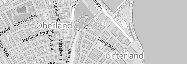
OpenStreetMap maps can be styled as you wish. We develop your map style or adapt existing map styles to meet your needs.
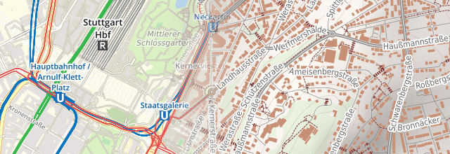
"Raster tiles" are small PNG images that power most web maps. Use our tile server, or hire us to set up your own.
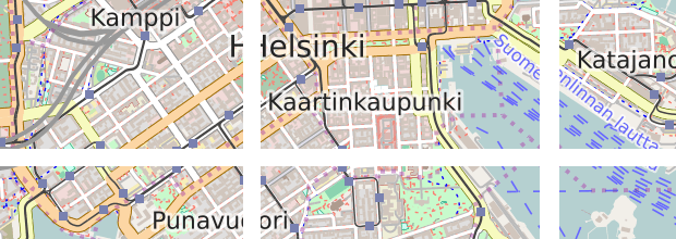
"Vector tiles" parcel up the planet into small data packages for client-side map rendering. Use our tile server, or hire us to set up your own.
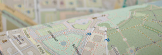
We produce prepress files either as vector graphic files which could be edited using Illustrator and similar software or high-resolution raster graphics.
Our WMS server provide OpenStreetMap in an OGC conformant way.
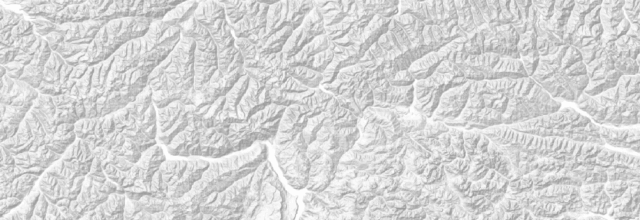
OpenStreetMap itself does not hold these information. Geofabrik has datasets with contour lines and hillshade from open data sources and can make them available for re-use.