
News articles are often greatly improved by adding a map. Ideally, such maps should be generated in an easily editable format, for example vector data for Adobe Illustrator, to allow the news editors to adapt the map to the use case - to remove or add items, rotate, resize, or colour them. The end result is a map graphic ready for printing.
Using the Maperitive software, it is easy to create such post-processable maps from OpenStreetMap. The bottleneck however is often downloading the source data from OSM, especially if your bandwidth is low or you need maps for large areas.
We helped one client set up a regionally limited OSM mirror using Overpass-Api in their local network. This mirror can be accessed from within Maperitive for data downloads, making the client independent of Internet data downloads.
In a further step we created a custom Maperitive style for the client, based on the "GMaps" style that already comes with Maperitive and adding a number of modifications to make the resulting map work well in the printed paper.
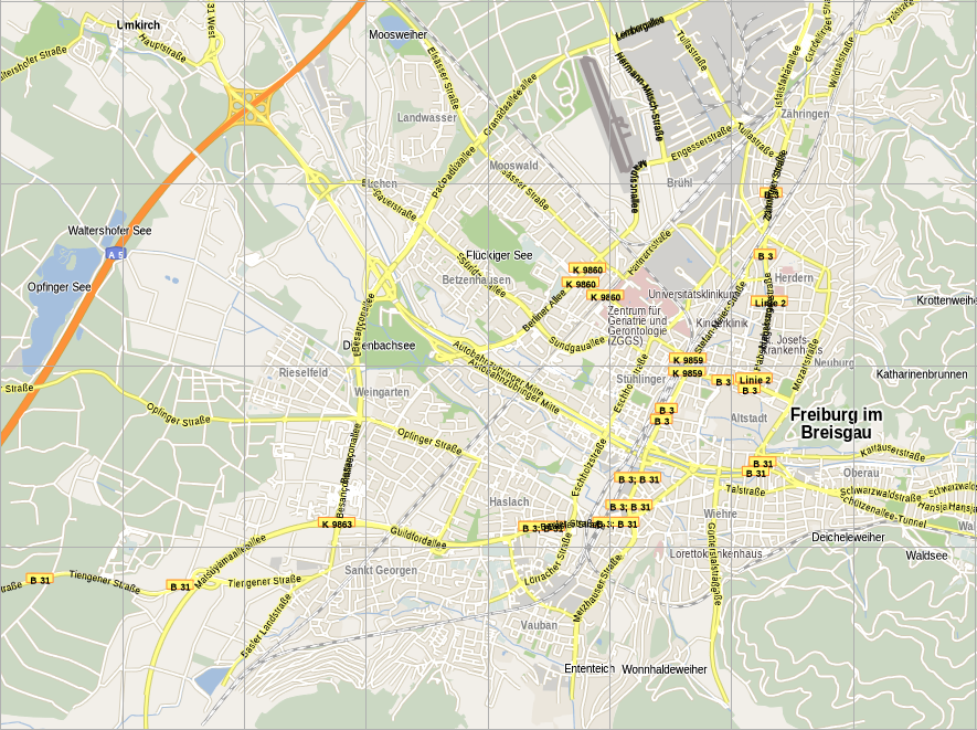
Maperitive GMaps Style Zoom 13
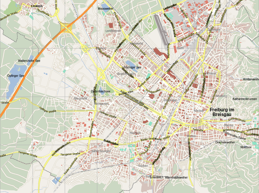
Custom Style
Maperitive GMaps Style Zoom 16
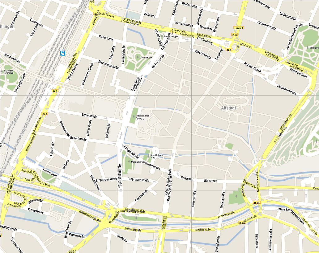
Custom Style
