
Many businesses actively manage their public image by defining a Corporate Identity which may extend to maps - be they web maps or printed maps for a brochure, a product presentation, or a location description.
A client from the energy sector asked Geofabrik to create map styles for web use as well as for printed maps. Both map styles were similar but not identical, since the print map was used for different purposes than the web map.
The colours and fonts used were chosen to match the client's corporate design guidelines.
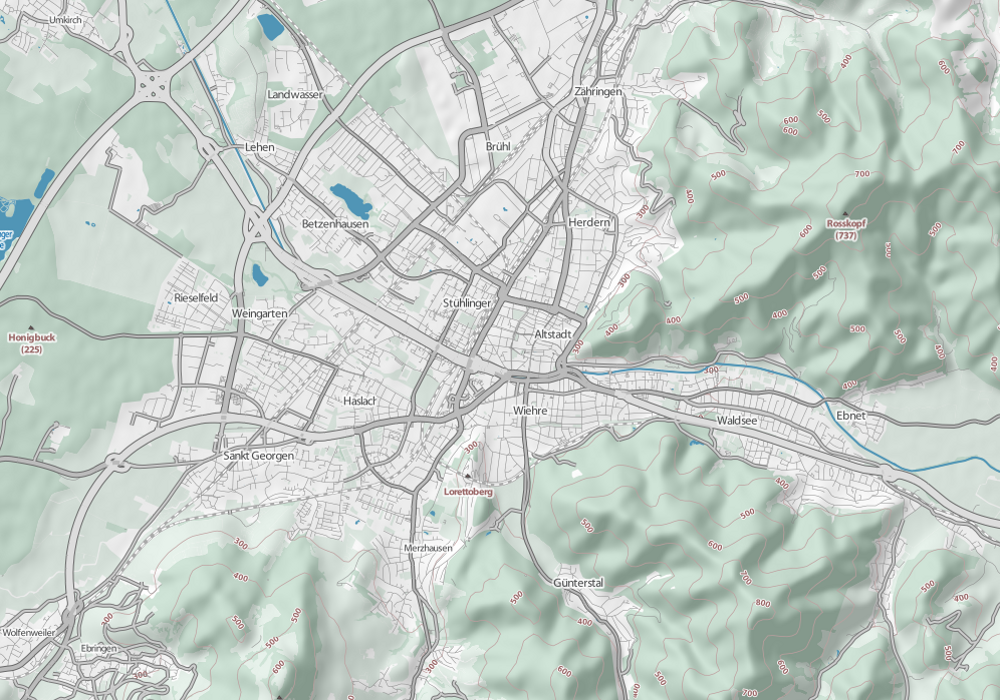
Web Zoom 13
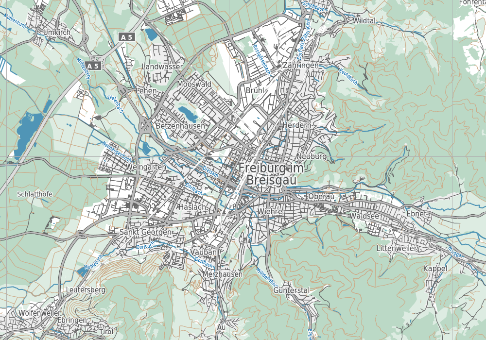
Print Zoom 13
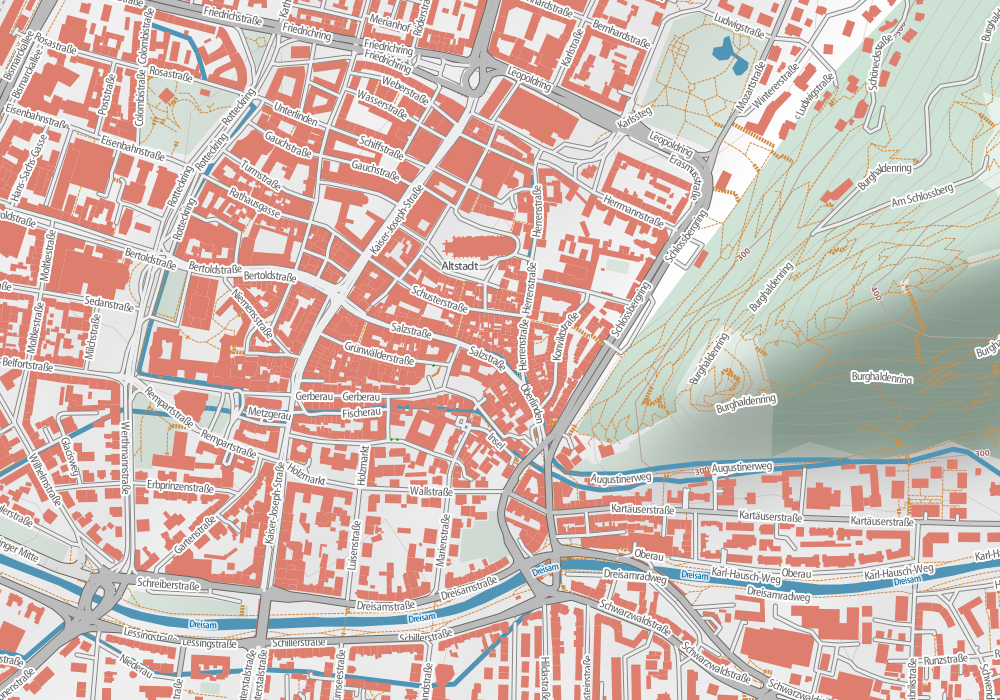
Web Zoom 16
Print Zoom 16
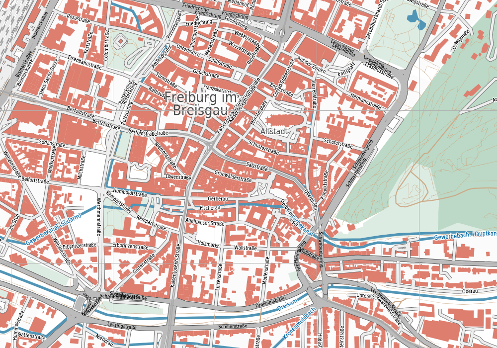
We've done the print style using Maperitive, a Windows software package that can be used to generate Adobe Illustrator compatible SVG. The client uses Maperitive to generate the basic map and then post-processes it in Illustrator.
The web map was done with Mapnik like most OpenStreetMap maps. It contains a couple of OpenStreetMap layers and also topographic data - hill shading and height contours - which we computed from NASA SRTM data.