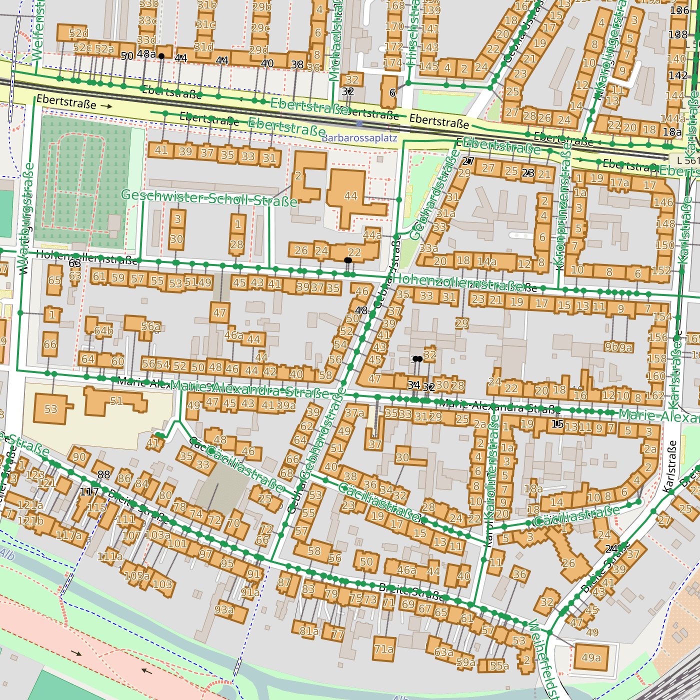
Many applications require geographic coordinates for given addresses. The process of finding coordinates for an address is called geocoding. More and more, OpenStreetMap data is used for such geocoding. There is a piece of free software that does an excellent job at this, and it is called Nominatim. Nominatim is used for the address search on the official OpenStreetMap website as well and supports reverse geocoding (converting coordinates into addresses).
| Plan | maximum requests per month | Price without VAT |
|---|---|---|
| Small | 100.000 | EUR 40 per month |
| Medium | 1.000.000 | EUR 80 per month |
| Large | 10.000.000 | EUR 160 per month |
| XXL | unlimited | starting at EUR 450 per month |
The fees are charged for one year in advance when the contract is concluded.
On request, Geofabrik installs Nominatim on hardware provided by a client (sufficiently powerful Linux servers), e.g. for the usage in enclosed networks, or runs Nominatim on dedicated servers rented for a client. Get in touch with us if you want to know more.
OpenStreetMap is still quite a bit away from having complete house number coverage in most countries. Of course, the geocoding accuracy is limited by the precision with which streets, houses, and their house numbers have been recorded in OpenStreetMap. Coverage of house numbers is usally very good in urban areas of Europe. In other areas, geocoding is usually possible on street level only.
