
Geofabrik provides you with geodata that matches your needs. We mainly work with free data from the OpenStreetMap project and use the lean OpenStreetMap tools for cartography of all kind.

Geofabrik offers region extracts of OpenStreetMap data in the OpenStreetMap raw data formats and selected features as shapefiles for download for free.

Geofabrik produces vector data exports which are optimized for the use by GIS users, as GeoPackage, shapefiles or File Geodatabase. Individual layer structures and feature selection are possible.

For routing applications, we process the OpenStreetMap road network and make it routeable. The data is available as shapefiles or GeoPackage.

Geofabrik exports administrative boundaries from OpenStreetMap as polygons and enriches them with information about hierarchy. Datasets are available as GeoPackage, shapefiles or GeoJSON.

OpenStreetMap contains information about power stations, high-voltage power lines and substations. The data is offered as GeoPackage, shapefiles or GeoJSON for GIS applications.

In some countries, OpenStreetMap contains postal code polygons. The data is offered as GeoPackage, shapefile or GeoJSON for GIS applications.
Geofabrik produces shapefiles which are optimized for the use by GIS users. Our shapefiles are based on up to date OpenStreetMap data. Individual layer structures and feature selection is possible.

Addresses can be converted into coordinates using OpenStreetMap data. Geofabrik offers access to its geocoding API based on Nominatim for a charge.

OpenStreetMap data can be also used to calculate routes and distance matrices.
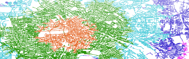
Reachability analyses can be done with OpenStreetMap data.

Geofabrik offers an Overpass API service for special applications of OpenStreetMap data.

