
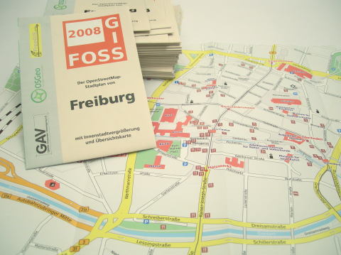
In many areas, OpenStreetMap data is already perfectly suitable as a basis for printed maps. At Geofabrik, we can manage the whole process chain, including data extraction, data modification, map rendering and the creation of suitable prepress files. We can even have the maps printed and folded locally and send them to you.
Using OpenStreetMap data incurs no license fees, no matter how large the print run.
Geofabrik also supports the OpenStreetMap community by creating and shipping, free of charge, current DIN A0 map prints to aid the presentation at trade fairs and other events.