
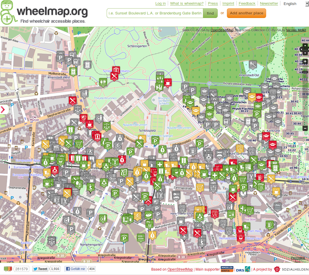
Wheelmap is a map for wheelchair accessible places. A "traffic light" system is used to flag places as either "suitable" (green), "limited" (orange), or "not suitable" (red). Everyone can participate and add these flags.
Wheelmap doesn't just use OSM as a base map; they also store the wheelchair suitability directly in OpenStreetMap. This created a few technical hurdles that we happily helped them solve.
More an more, points of interest are created as areas on OSM and not as points. This created problems for Wheelmap, whose simple map interface only used point information for POIs. It could happen that users were asked to add information about the wheelchair suitability of an object in OSM when indeed the underlying area object already carried that information.
We helped solve that problem by building a special, self-updating OSM database mirror for Wheelmap that converts areas into "pseudo nodes" at the centre of an area. These nodes can then be processed normally in Wheelmap.
Technically, this is implemented using standard OSM tools (PostGIS database, and osm2pgsql), and a database trigger that updates the pseudo nodes table. A reduced osm2pgsql style file imports only the required data, keeping resource usage to a minimum. In regular intervals, an export job generates an OSC change file describing all the changes in pseudo nodes since the last export, to be processed by the core wheelmap database.